"Little Syria"
Item
-
Title
-
"Little Syria"
-
Description
-
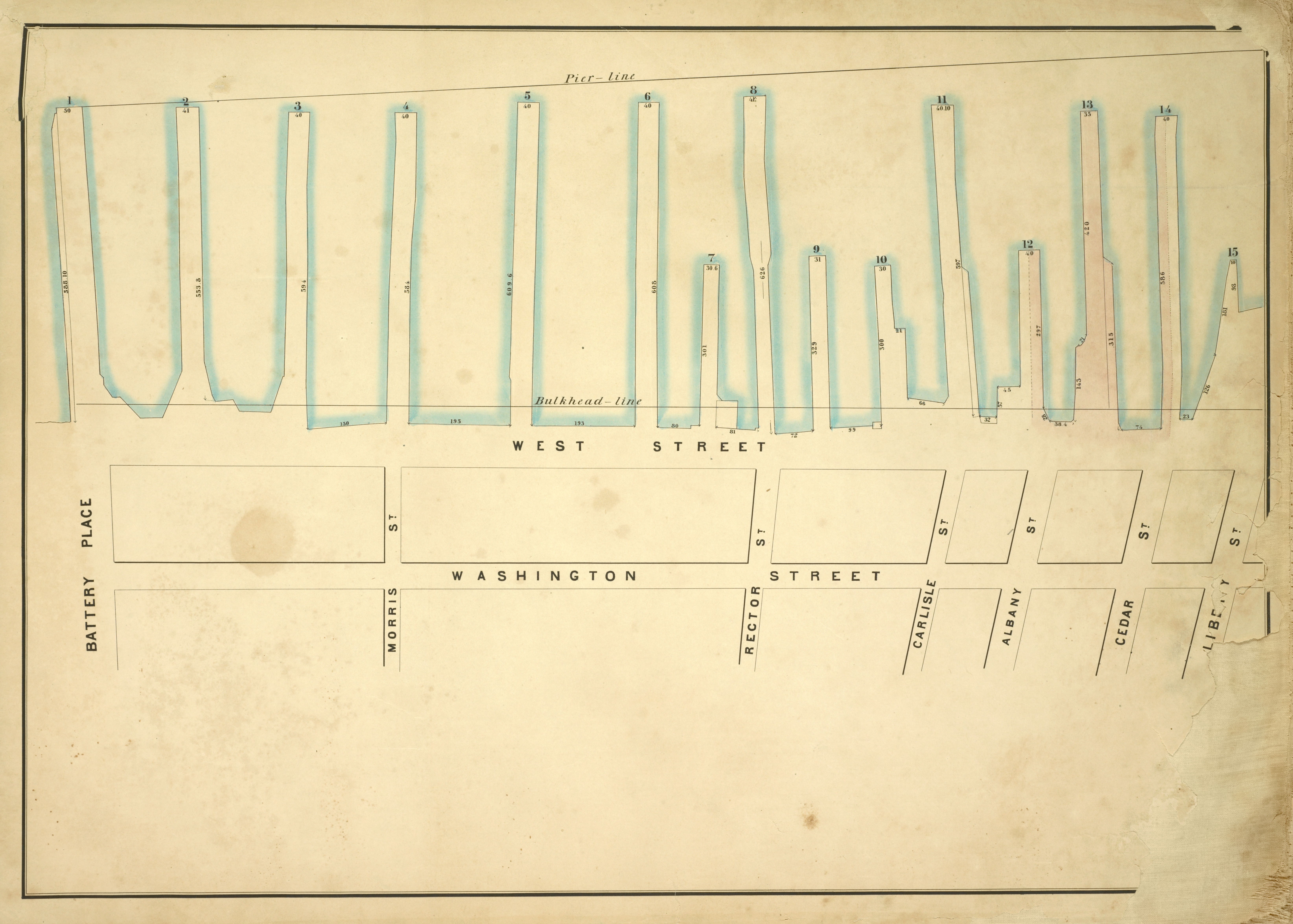
Map of Lower Manhattan bounded by pier lines 1 to 15. The map shows Washington Street, the main street of "Little Syria" and its North, South, and West boundaries.
-
Creator
-
I.C. Buckhout, city surveyor.
-
Publisher
-
The New York Public Libary:
Lionel Pincus and Princess Firyal Map Division, The New York Public Library. "Map bounded by Pier - Line 1-15, Liberty St, Washington Street, Battery Place; Including West Street, Morris St, Rector St, Carlisle St, Albany St, Cedar St" New York Public Library Digital Collections. Accessed October 20, 2020. http://digitalcollections.nypl.org/items/5e66b3e8-e055-d471-e040-e00a180654d7
-
Date
-
1860
-
Type
-
Map
-
Format
-
png
-
Language
-
English
-
Subject
-
Cartography, location
-
Place
-
Lower Manhattan, New York City
-
Temporal Coverage
-
19th century
-
Rights Holder
-
"From The New York Public Library," https://digitalcollections.nypl.org/items/5e66b3e8-e055-d471-e040-e00a180654d7
-
Rights
-
Public Domain.